Navigation
![]()

![]()
.png)
Upcoming Events
There are no events planned.
2017-2018 Webinar Series
Quantification of understory fuels in Superior National Forest using LiDAR Data
Thursday, February 15, 2018 at 2 PM Eastern /1 PM Central
Jeff Irwin
USGS Earth Resources Observation and Science Center
jrirwin@usgs.gov
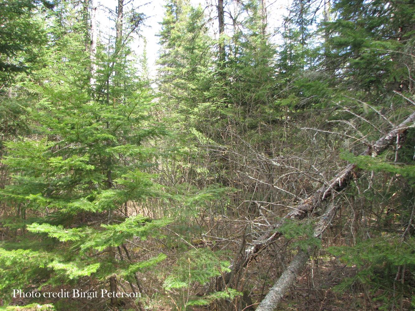
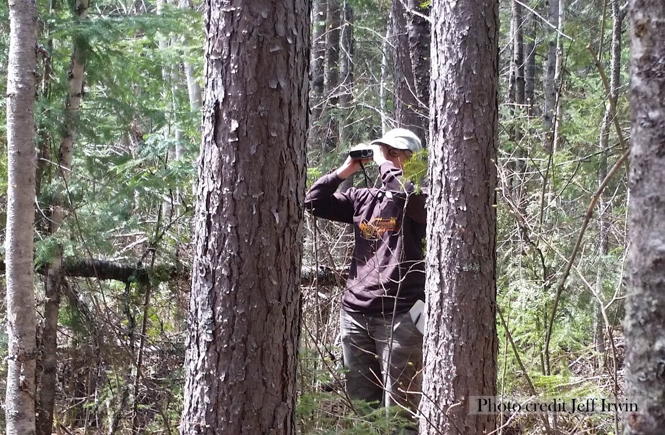
Fire is a natural part of the ecosystems in the Great Lakes region. Several factors including harvesting, insect outbreaks, and fire suppression have had an impact on these ecosystems. Of particular concern is the rise in the amount of shade tolerant species, like balsam fir. Because of its resinous bark and easily ignited needles, balsam fir is flammable. Additionally, balsam fir is vulnerable to spruce budworm infestation, which leads to additional fuel loading from needle cast. Detecting increases in fire risk is important to Superior National Forest fire managers for many reasons. However, determining the amount and extent of understory fuels is difficult, due to the area’s remoteness and to the cost of collecting field data. To quantify and map the extent of understory fuels, lidar data were used in combination with field data collected using the cover line intercept method at 45 plots. Multiple lidar metrics were calculated from the original point cloud, to be used as predictor variables. Preliminary results indicate that there is a relationship (R^2 = 0.65) between the amount of understory canopy measured and the following lidar metrics: the height at which 50 percent of lidar pulses are returned, relative point density between the heights of 8 and 10 meters, and the total cover. The results were used to produce a preliminary understory cover model. Comparison of the model results with ancillary data increased confidence in the model. The understory cover model was combined with data mapping the amount of balsam fir basal area to produce a preliminary balsam fir understory cover map. Field evaluation of these products will be conducted along with refinement of the products. This research indicates that it may be possible to map understory fuels with airborne lidar, and that with the proper data, individual understory components may be extracted.
MP4 video
YouTube Recording
PDF of presentation
- To Test your computer internet connection and compatibility with adobe connect, click here and follow the prompts.
- You will need to use the speaker output from your computer, so make sure you know how to control your speaker volume and attach external speakers for better performance. We will prompt you to type questions in the chat box throughout the session.